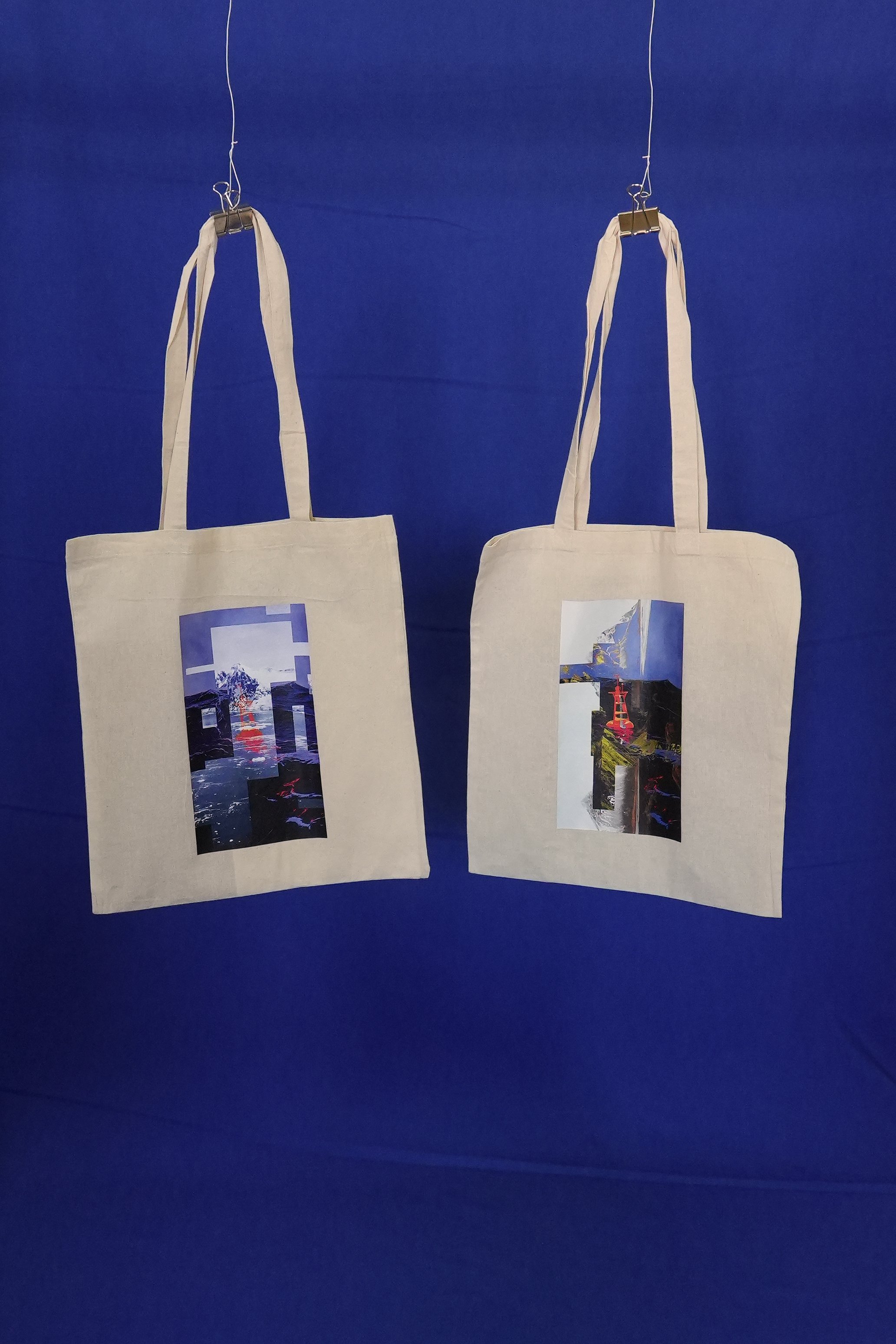
The Republic of Null Island
Installation, 2024
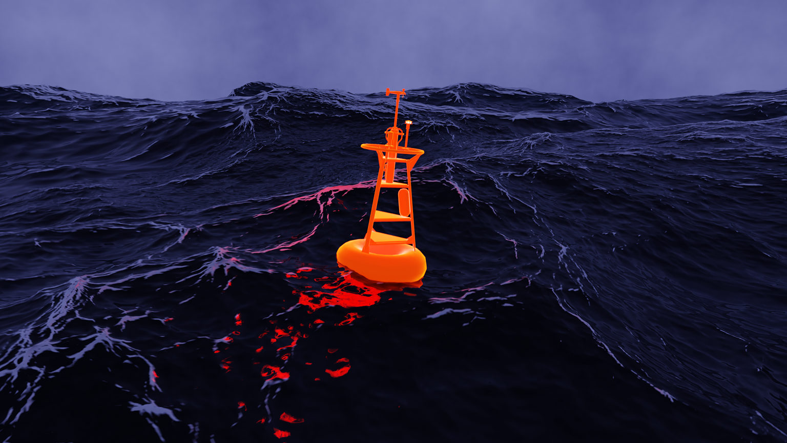
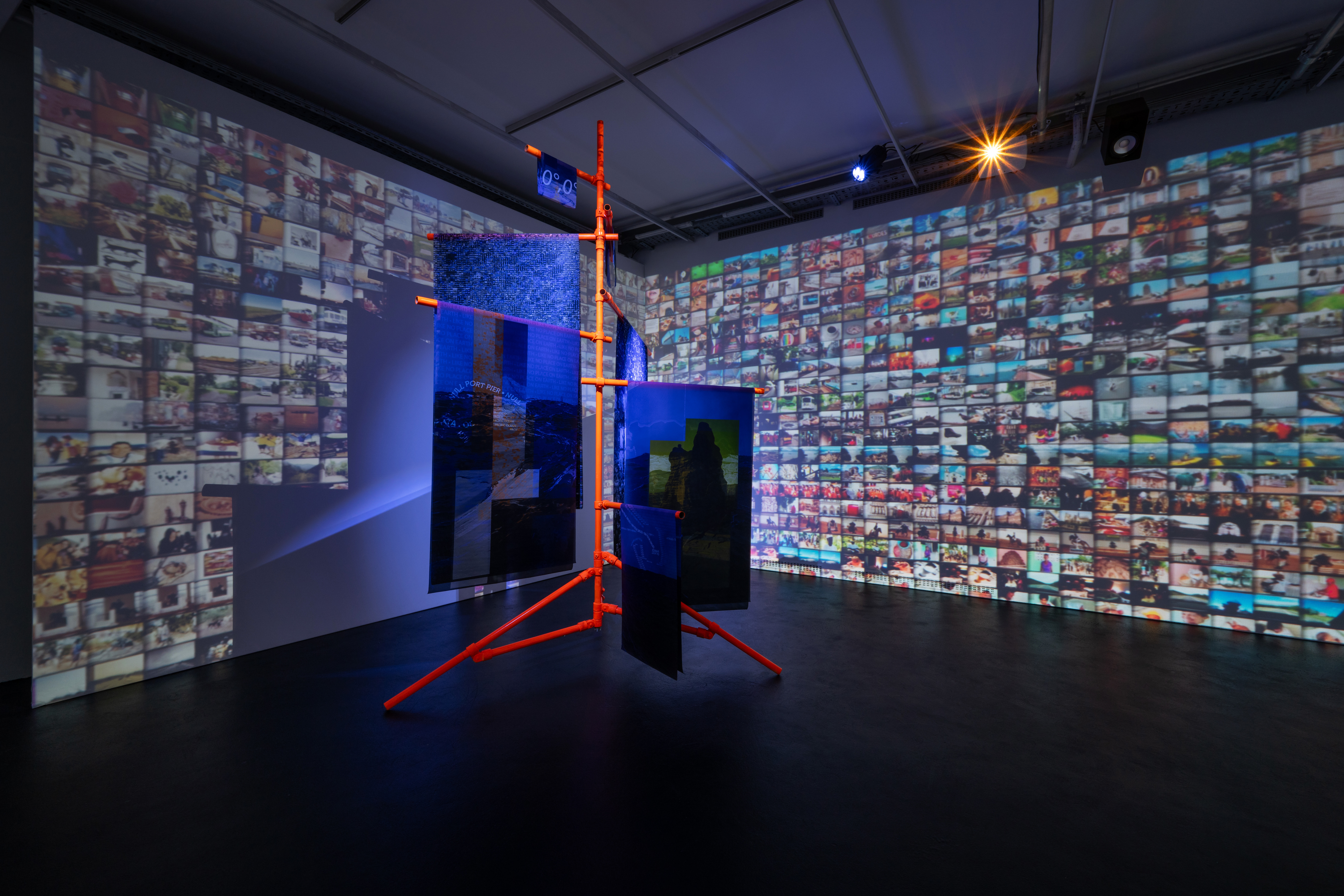
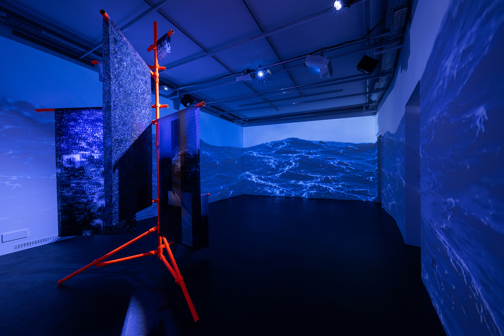
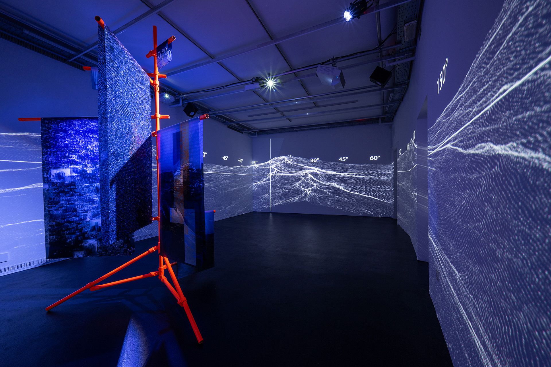
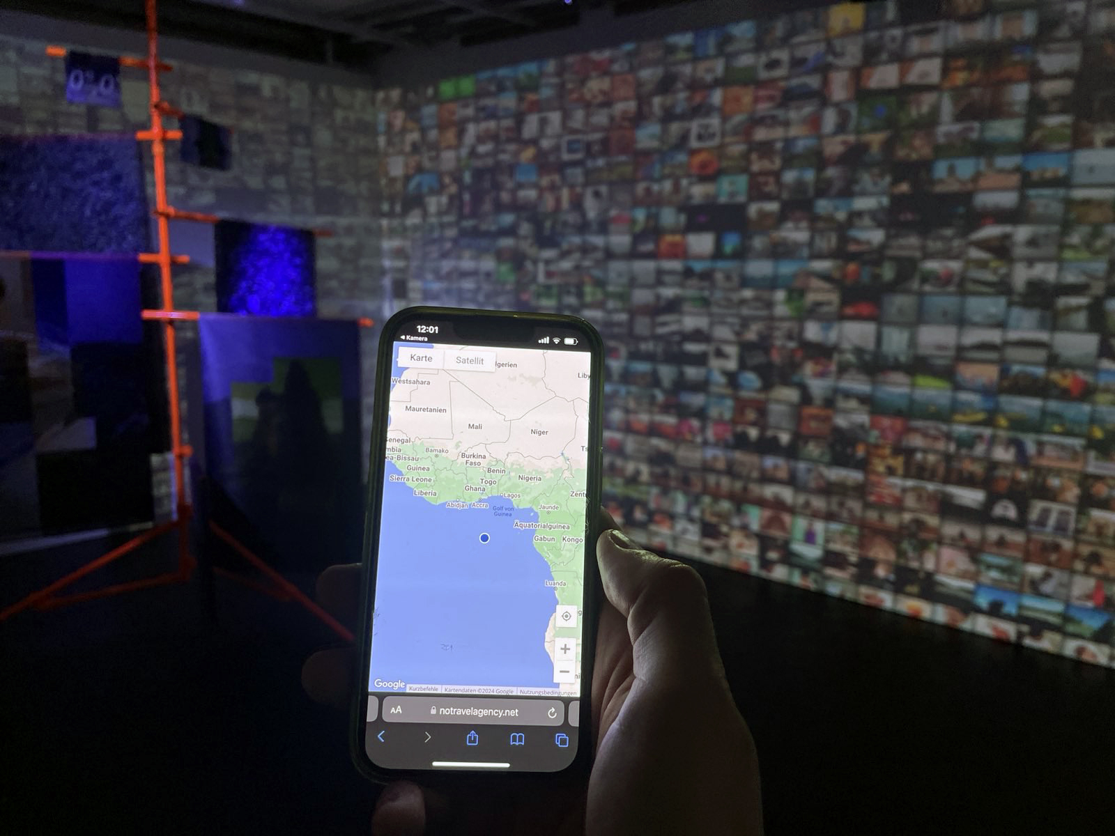
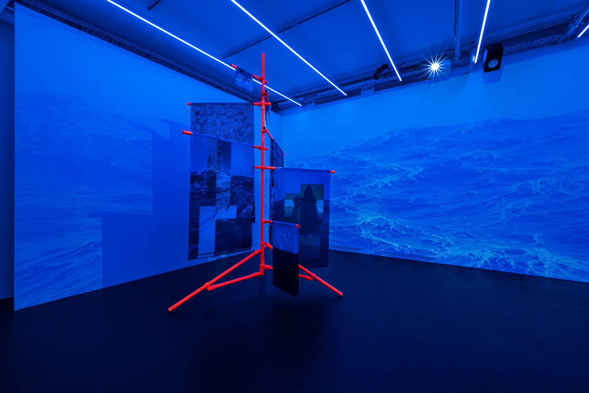
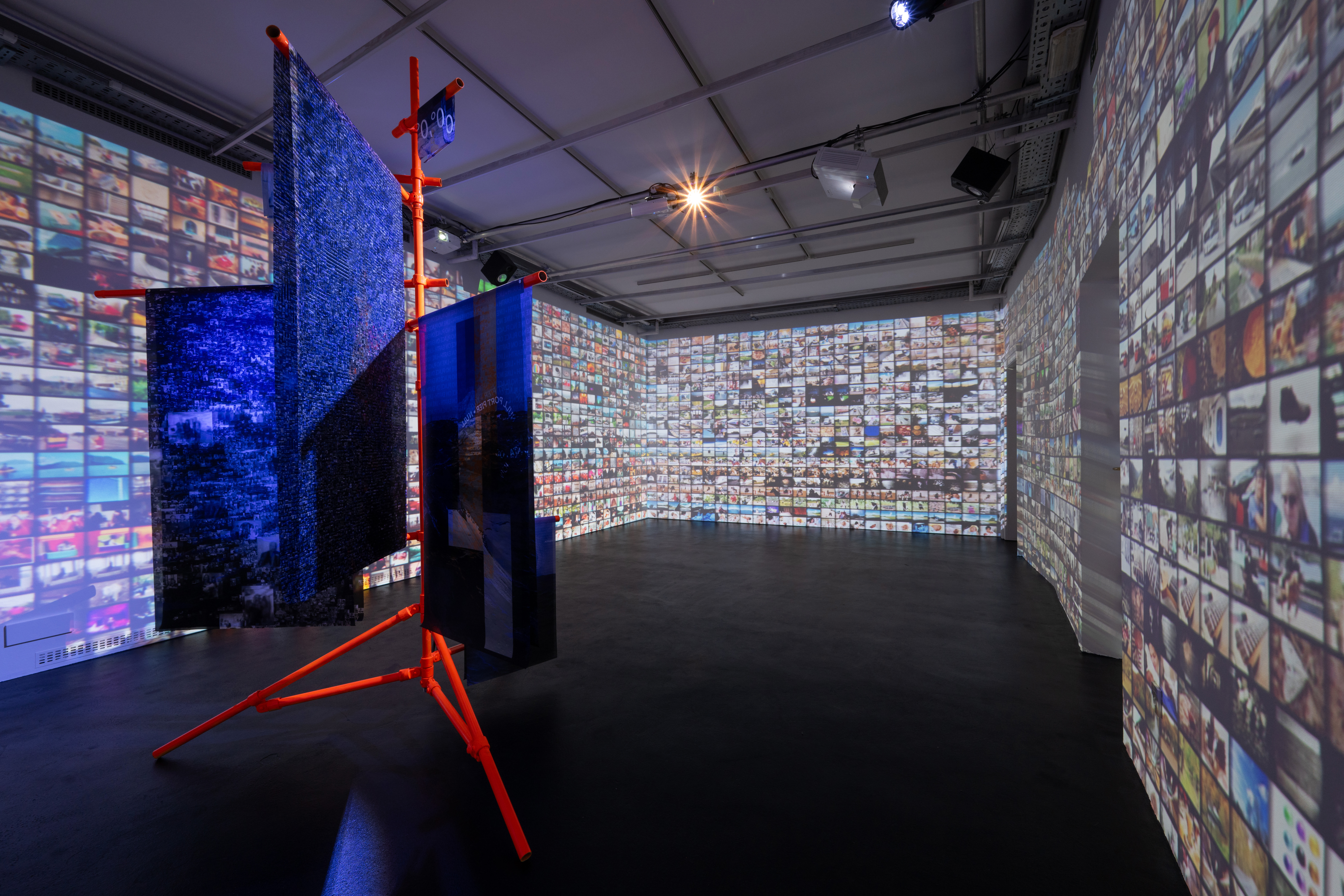
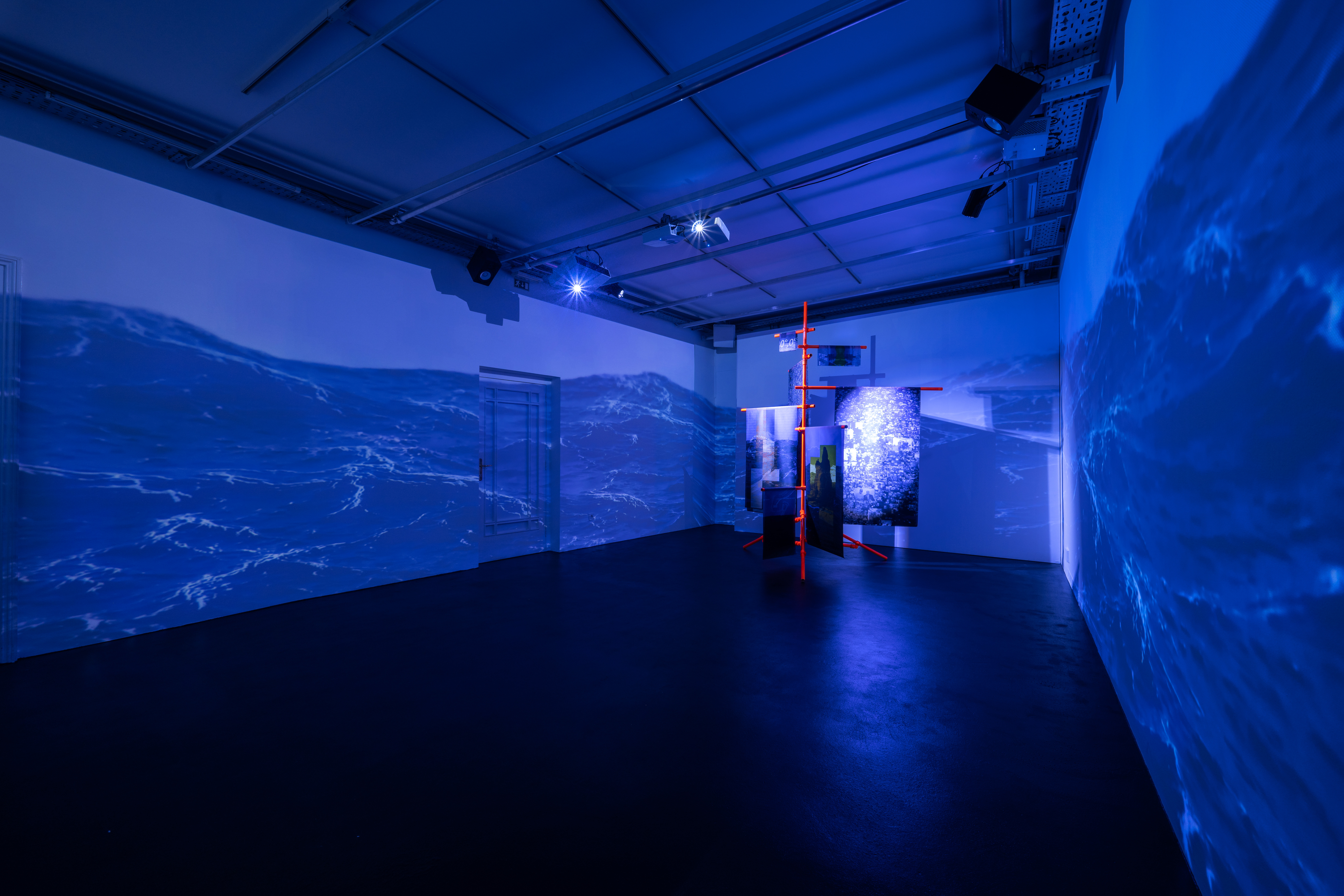
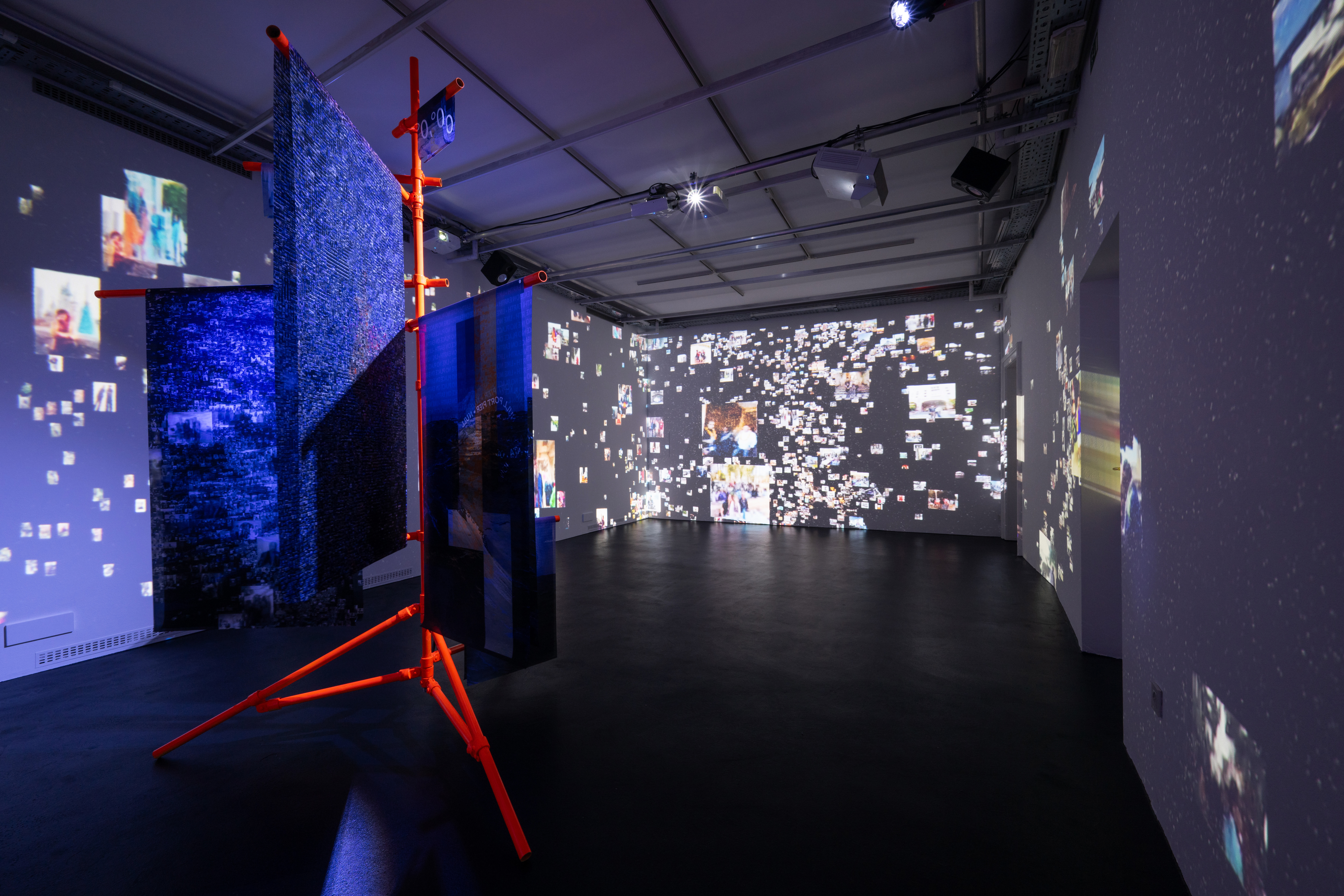
Null Island denotes an imaginary island as a cartographic placeholder on the earth's surface where the prime meridian and the equator intersect. The point has GPS coordinates 0°N 0°E and is located in international waters in the Gulf of Guinea in the Atlantic Ocean, where it is marked by a stationary buoy. All data that cannot be assigned to a geographic coordinate or is incorrectly assigned as 0.0 entered in databases are assigned to the point to make it easier to find and fix such errors. Thus, dates are incorrectly plotted at that point, which depicts a place, or the image of a place, that exudes a certain aesthetic rather than what the people do in it. Instead of micro‐society, of heterotopia, Null Iceland is precisely the absence of people and the social system they represent – its nature is that of a void.
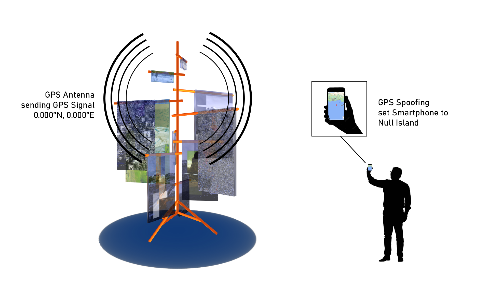
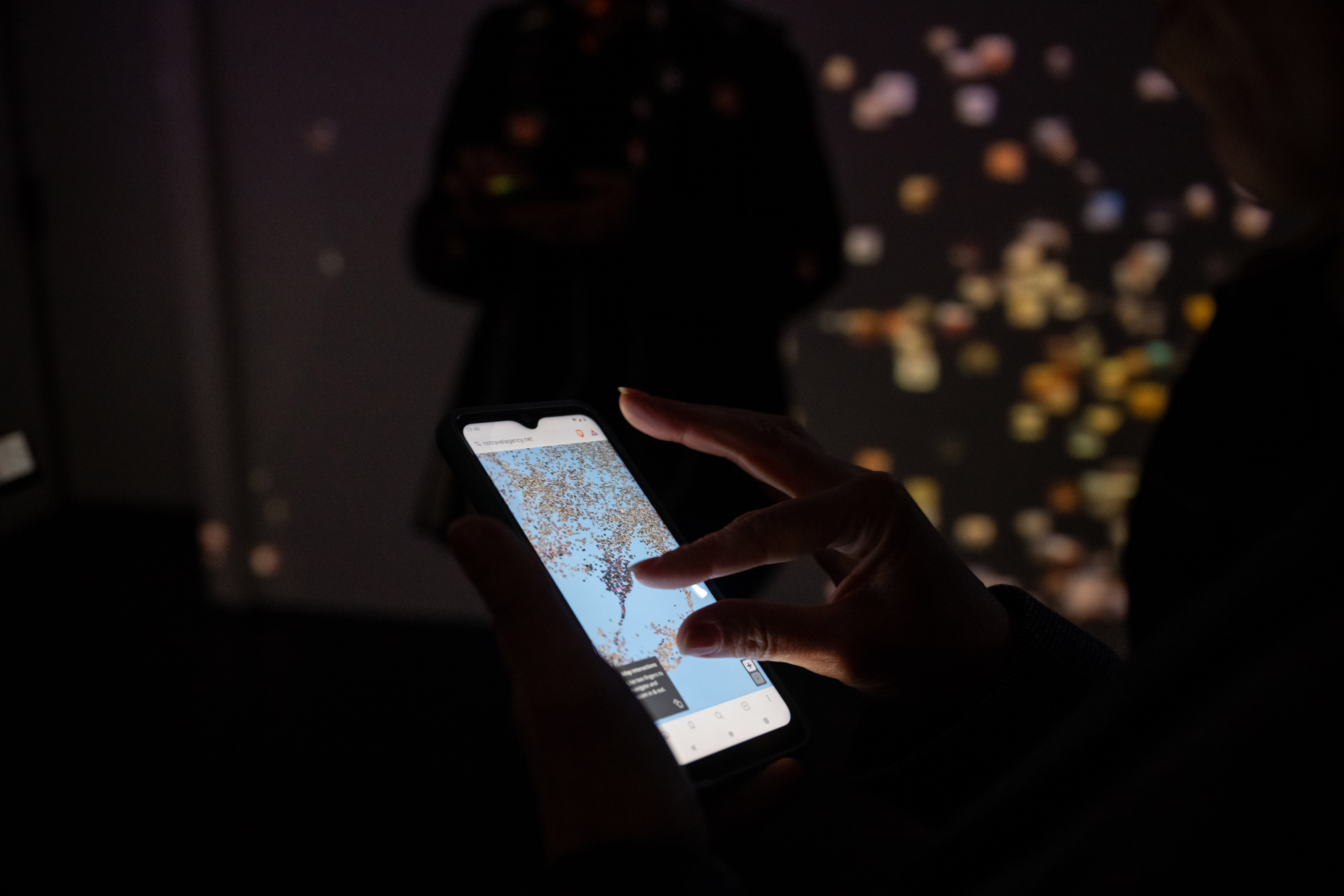
The art installation also works as a hidden GPS Antenna to transmite a generated GPS singal with the coordinate 0°N 0°E, to virtually place the visitors smartphones at the Null Island. All the data that is collected near by the artwork will be tagged with the GPS coorindate of Null Island and therefore the place gets filled with more data !
Website:
The Republic of Null Island - Data Visualization
Medium:
The Republic of Null Island - The intention to make a mistake
Examples of Null Island:
Strava:
Global Heatmap
OpenStreetMap:
Node
Weather Sensor:
Wind Sensor ,
Air Quality
Photo: Domen Pal / Aksioma
CC-BY-NC-SA 4.0

